CrossGIS
Analyze and visualize your geospatial data with CrossGIS, a C++/Qt GIS application compiled to WebAssembly for the web.
QGIS
Qt/QML
WASM
Client
Environmental consulting firm
Duration
? months
Category
Environment & GIS
Project Overview
CrossGIS is a GIS application written in C++ using Qt/QML, leveraging QGIS Core for its main features. Designed to be fully cross-platform, it enables advanced geospatial data analysis and visualization directly in web browsers through compilation to WebAssembly (Wasm) via Emscripten. CrossGIS makes professional GIS tools accessible on all types of devices, offering performance, accessibility, and user-friendliness for environmental and geospatial projects.
Features
Cross-platform compatibility
WebAssembly support
GIS data visualization and analysis
User-friendly interface with Qt/QML
Technical Challenges
Compiling QGIS Core to WebAssembly
Ensuring performance and responsiveness in a web environment
Maintaining cross-platform compatibility
Technologies Used
C++
QGIS
Python
Emscripten
Qt/QML
Results Achieved
Successful deployment of a GIS application in web browsers
Enhanced accessibility for users across different platforms
Improved performance through WebAssembly
Visual Overview
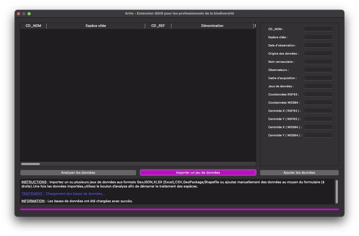
Screenshot of Artio's user interface
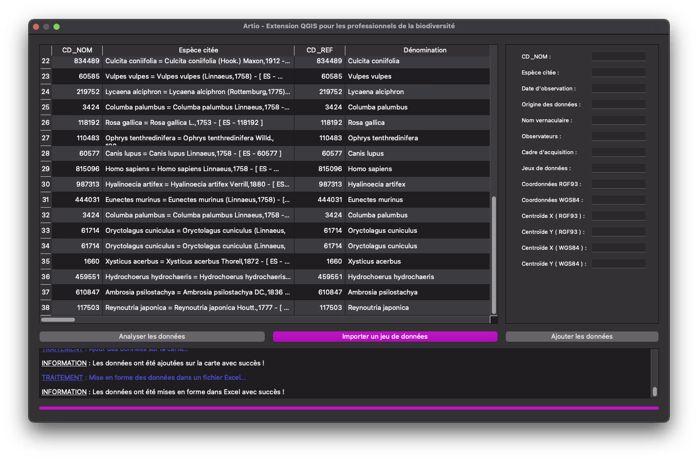
Biodiversity data analysis in Artio
Interested in a similar project?
Let's discuss your needs and discover how we can create a tailored solution for your organization.